
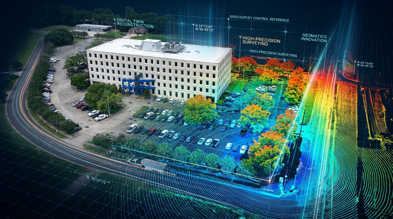
GCP-Free Is Not QA-Free: The Operator Brief #01
GCP-free workflows like RTK and PPK reduce the ground control a drone project needs. They never remove the need to verify the data. This issue is about that difference — and why the system around the aircraft matters more than the aircraft.
Field Note
I spent this week at our geomatics lab in Lafayette, pulling old flight logs off the Wingtra LiDAR testing we ran here before any of it touched a client site. Wednesday I’m on a webinar with the Wingtra team talking about how a drone earns the trust of professional surveyors. Going back through those files reminded me where that trust actually came from. Not the spec sheet. Not the demo video. It came from the boring work we did in this lab — flying known control, checking strip alignment, looking at vegetated and bare ground side by side — long before a project was riding on the answer. The hardware was never the hard part. The system around it was.
The Main Brief: Drone Operations
Skipping ground control is an efficiency gain. Skipping verification is a liability — and confusing the two is how an operator ends a reputation.
RTK and PPK genuinely changed the work. They save time, cut the ground control a project needs, and keep people out of difficult terrain and sensitive areas. That’s all good. But none of it removes the need for judgment — for checkpoints, for survey control, for understanding what the data is actually telling you.
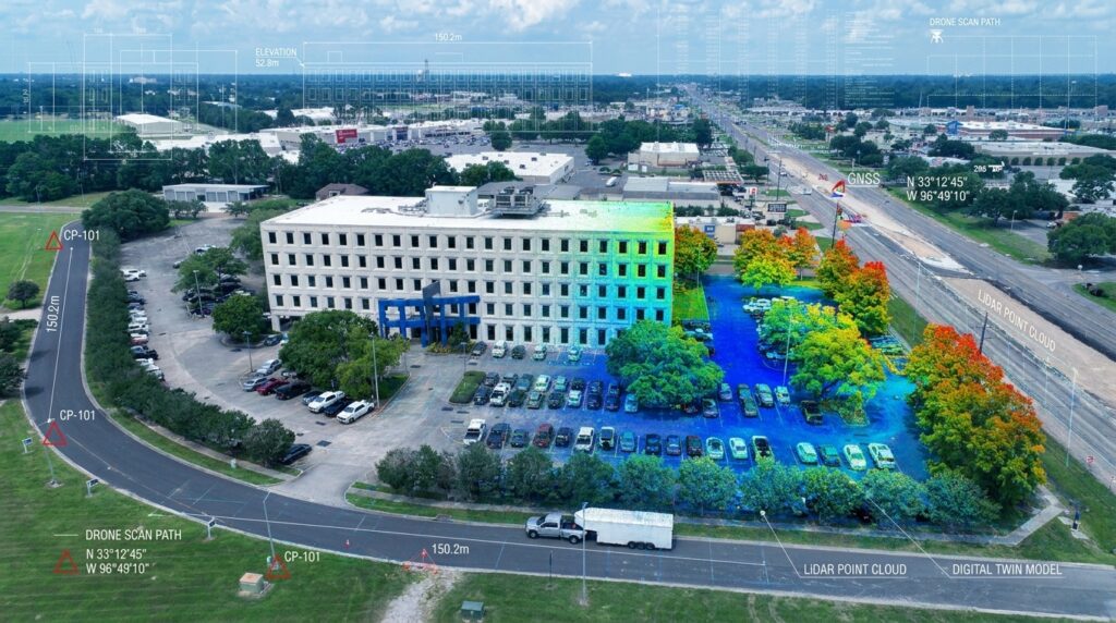
Before we put a new payload on a single deliverable, we fly it at our own lab against control we’ve already established. We check strip alignment. We look at how it behaves over vegetation versus hard surface. The goal isn’t to confirm the marketing — it’s to find where it breaks, on our time, with nothing on the line. On my own jobs that means I still shoot independent checkpoints, leave them out of processing, and use them to verify the result instead of assuming it.
I’d rather discover a problem in the lab than explain it on a client’s critical site. That isn’t failure. It’s the system doing what it was designed to do.
You don’t rise to the level of your intention. You fall to the strength of your system.
That’s the principle under all of it — drones, AI, even 100 For Life. Build the system before you need it. Do the work before the pressure arrives.
Read the full article: The Lab Before the Launch →
What I’m Building
- Drone Ops — Capturing general lessons from the field: airspace, approvals, safety, data quality, and the practical decisions that shape professional drone operations.
- UAV Mentor — About three-quarters through the manuscript; the monetization and scaling chapters are what’s left.
- Applied AI — Still at the foundation, defining which workflows are worth teaching before building a single lesson.
- 100 For Life — Day 2. No hype today. Just a starting point. The first day doesn’t prove anything. The next 99 will.
One Recommendation
This week I leaned on a simple spreadsheet QA log: known control value next to measured value, for every check flight before anything ships. It turns “I think it’s good” into “here’s the number.” Most useful for any operator flying a new sensor or a PPK workflow who has to defend their accuracy to a client, not just feel confident about it.
Get The Operator Brief in your inbox. Field-tested notes on drone operations, applied AI, and human performance — every Tuesday at 7:02 AM Central. Subscribe free →
Writing from the field — not from theory.
