Reading Time: 4minutes
There’s a difference between flying a drone and running a drone program. It doesn’t show up on a demo field in good weather. It shows up on the projects where access is limited, the site is sensitive, and the data has to be right the first time.
Flying a Drone vs. Running a Program
When you start out, the aircraft is the exciting part — the cameras, the sensors, LiDAR, RTK and PPK, the digital twins and AI tools that make it feel like you’re stepping into the future. In a lot of ways, you are. So that’s where most people put their attention, and early on, so did I.
After enough time around real projects, real clients, and real consequences, the work starts to look different. The drone is only one part of the system. The better question isn’t “can this drone fly.” It’s “can this workflow be trusted when the project actually matters.”
That’s a different standard. It’s one thing to trust technology on a demo field. It’s another to trust it on a site where a client is counting on the data and the answer needs to be right the first time. That trust isn’t assumed. It’s earned.
What the Lab Is For
That’s why a geomatics lab is so valuable. A lab gives you a place to work through the hard questions before the project is on the line. How does this platform really perform? How does the payload behave? How accurate is the data, and how repeatable is the result? What changes when you adjust altitude, overlap, camera settings, control layout, or processing software? How far can you reduce ground control and still prove the data is good? Where do checkpoints still matter? What does the workflow look like when everything doesn’t go perfectly?
Those aren’t academic questions. They’re the ones that separate a professional operation from a hopeful one. Professionalism isn’t pretending everything always works. It’s building systems that can handle reality.
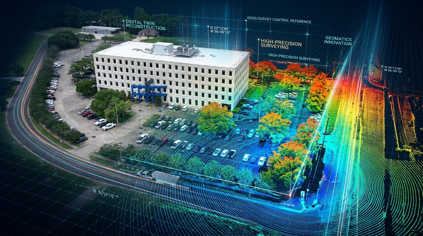
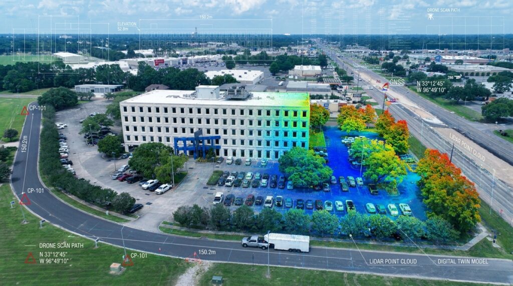
A geomatics innovation lab shown through a LiDAR point cloud and digital twin visualization, representing drones, high-precision survey, GNSS control, and remote sensing workflows.
Sometimes a flight doesn’t go the way you expected. Sometimes the data doesn’t check the way you hoped. Sometimes a result looks good visually, but the checkpoints tell a different story, and a re-flight is the right call. Early in a career, those moments can feel like failure. I don’t see them that way anymore. Finding the issue early is part of the job. I’d rather discover a problem in the lab than explain it on a client’s critical site. That isn’t failure — it’s the system doing what it was designed to do.
GCP-Free Doesn’t Mean QA-Free
RTK and PPK have changed the way we approach drone photogrammetry. They save time, reduce the ground control a project needs, and make work safer by keeping people out of difficult terrain, active corridors, and sensitive areas. That’s a good thing.
But it doesn’t remove the need for judgment. It doesn’t remove the need for checkpoints, for survey control, or for understanding what the data is actually telling you. GCP-free does not mean QA-free. Technology can make us more efficient. It should never make us careless. On my own jobs, that means I still shoot independent checkpoints, leave them out of processing, and use them to verify the result instead of assuming it.
The Principle Underneath Everything
The people who win long term usually aren’t the ones chasing every shiny object. They’re the ones who learn how to evaluate a new tool, test it, build a repeatable system around it, and use it with discipline. That applies to drones. It applies just as much to AI right now — plenty of people are excited about the tools, far fewer are building real workflows and asking how AI fits into decision-making, quality control, training, and operations. The tool matters. The system matters more.
It’s the same reason I’ve been building 100 For Life. On the surface, that project is about fitness, nutrition, and habits. Underneath, it’s the same idea: build the system before you need it. Do the work before the pressure arrives. Create a repeatable process you can trust. That’s what separates motivation from discipline — and in professional work, it’s what separates interest from execution.
You don’t rise to the level of your intention. You fall to the strength of your system.
The lab before the launch. The checklist before the mission. The reps before the tournament. The habits before the transformation. The preparation before the opportunity. That’s the work, and it’s where the real career is built.
This week I’m getting into the specifics live with Wingtra and Chad Maxwell — how professional surveyors come to trust a platform on sites like the Grand Canyon and Pearl Harbor, where there’s no room to be wrong. If you work on projects where the data has to be right, it’s worth the hour: register here.
Carlos Femmer is a geomatics and remote sensing leader, enterprise drone operator, author, and builder of practical training systems for the next generation of professionals. He has led drone, LiDAR, survey, and digital twin work across some of the most complex infrastructure and federal environments in the country.
Through The Operator Brief, Carlos writes about drone operations, applied AI, leadership, discipline, and the lessons learned from doing the work in the field — not from theory.
New issues publish every Tuesday at CarlosFemmer.com.